

Terrafin
Take the Guesswork Out of Offshore Fishing!
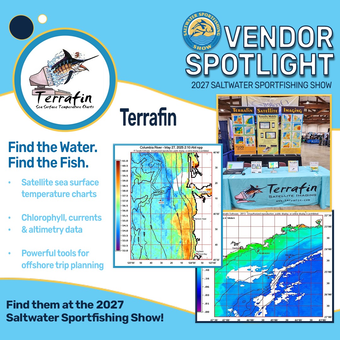
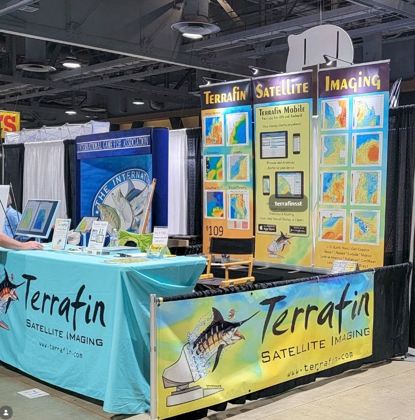
We’re excited to welcome back Terrafin Satellite Imaging to the 2027 Saltwater Sportfishing Show!
For offshore anglers, knowing what’s happening beneath the surface starts with understanding the
conditions above it. Terrafin provides satellite-based ocean information, including sea surface
temperatures, chlorophyll concentrations, ocean currents, and altimetry data to help anglers
research conditions and plan their fishing adventures.
Whether you’re chasing albacore tuna or exploring new offshore fishing grounds,
Terrafin gives you valuable information to help plan your next trip.
Explore Terrafin’s satellite imaging tools and stop by their booth
at the 2027 Saltwater Sportfishing Show!
Discover What’s Happening Offshore with Terrafin!
Planning a successful offshore fishing trip starts with understanding ocean conditions. Terrafin Satellite Imaging provides valuable information on sea surface temperatures, chlorophyll concentrations, ocean currents, and more to help anglers plan their next adventure.
Whether you’re targeting albacore tuna or exploring new fishing grounds, discover how Terrafin’s satellite imaging tools can help you make informed decisions before leaving the dock.
Connect with Terrafin on Facebook and Instagram, and visit their booth at the 2027 Saltwater Sportfishing Show!